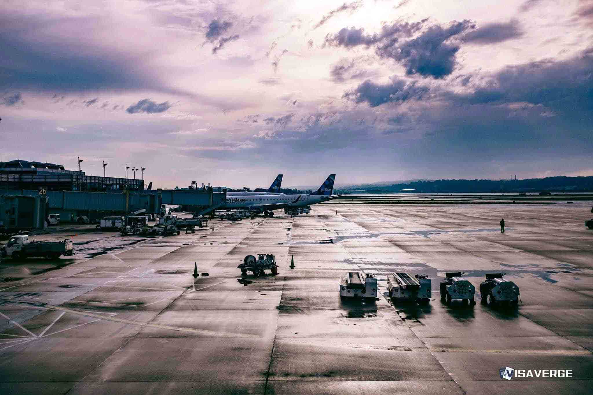
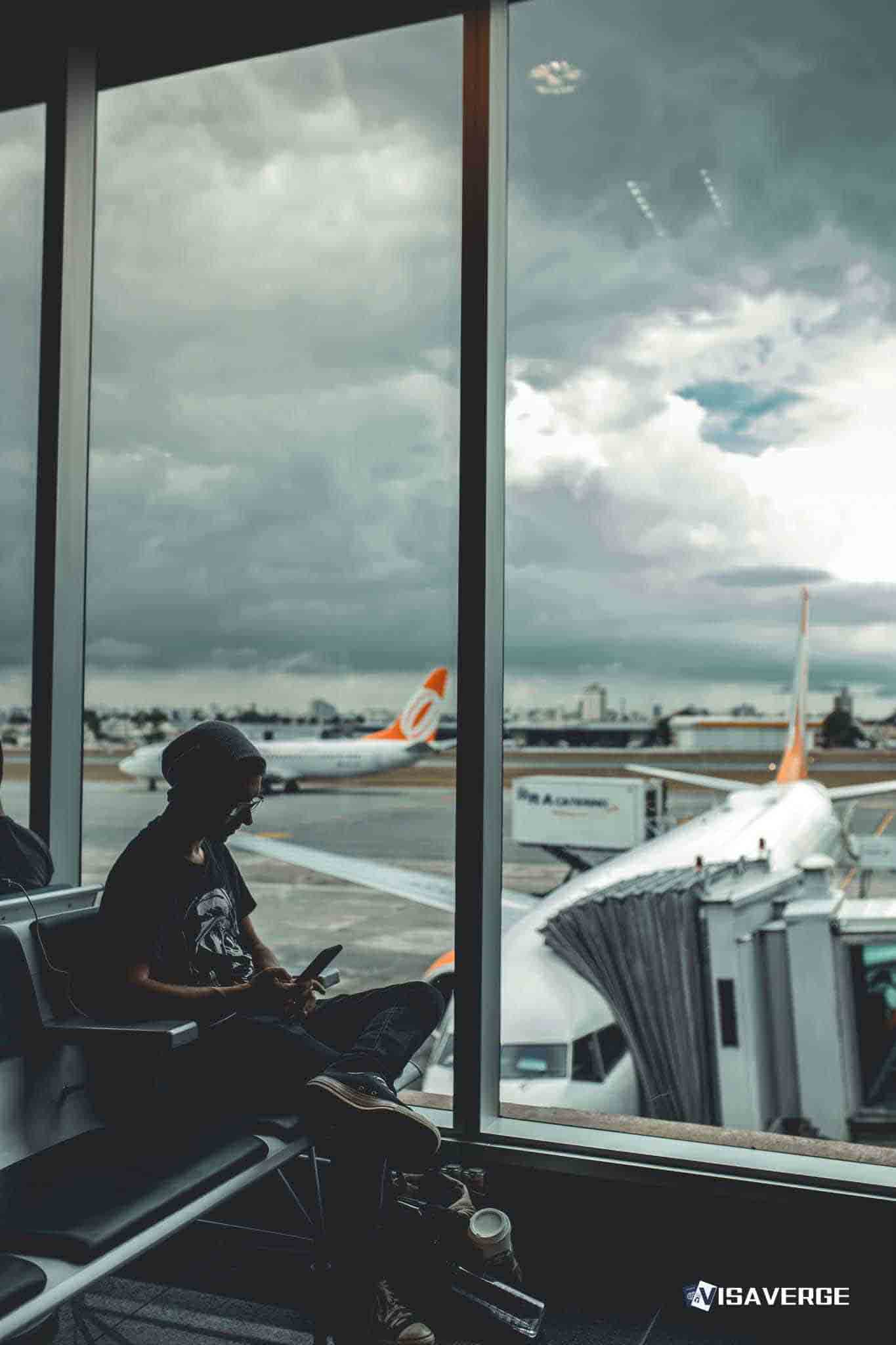
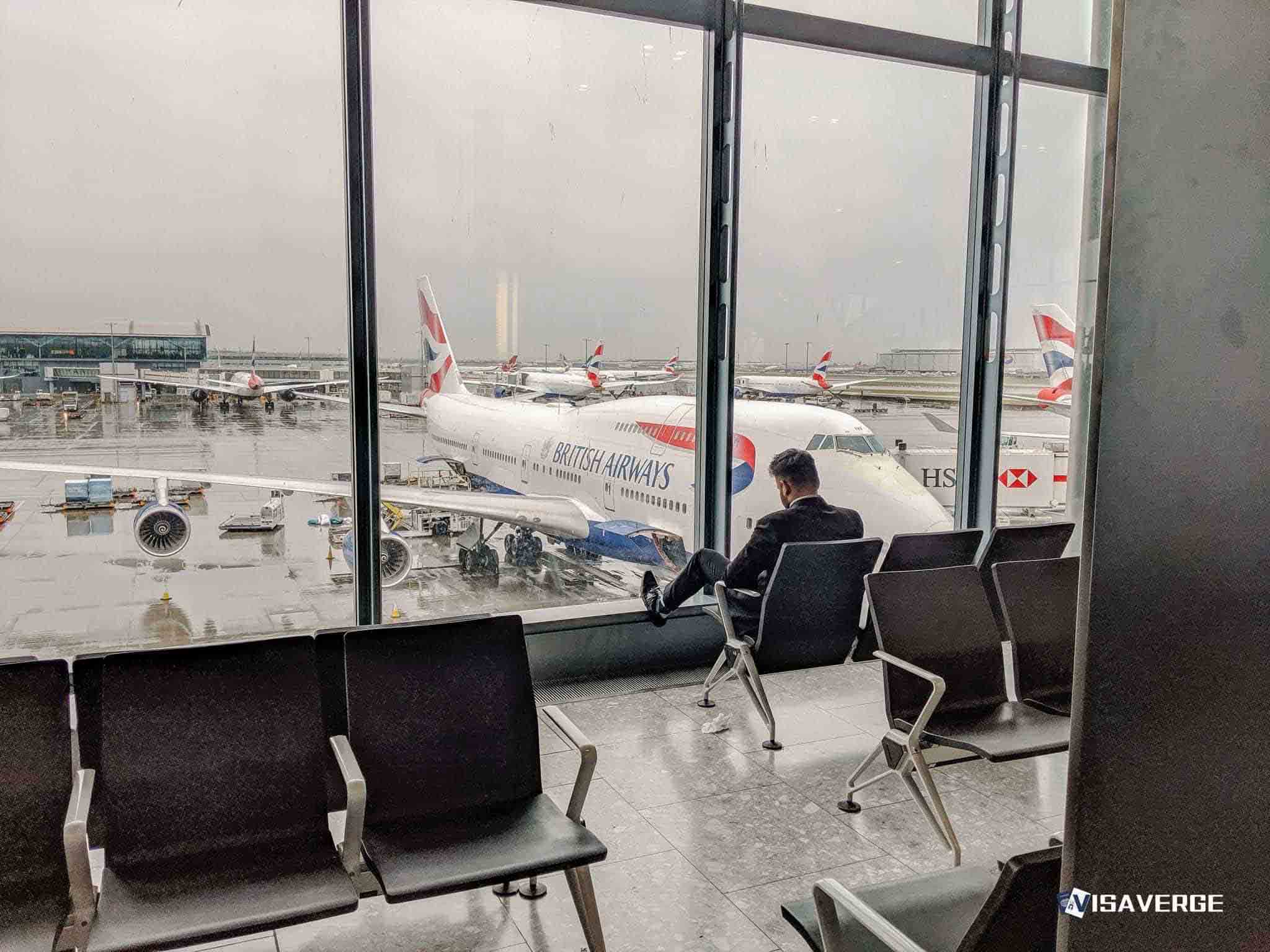
(NEW YORK CITY, NY) A major winter storm barreled across the Northeast United States 🇺🇸 over the weekend of December 14, 2025, forcing airlines and federal air-traffic managers to slow or halt flights at some of the country’s busiest hubs and leaving travelers—many of them immigrants, students, and temporary workers with tight return dates—scrambling amid fast-changing conditions.
By 6 p.m. EST on Sunday, the storm had triggered more than 2,800 delays and nearly 400 cancellations nationwide, according to the figures in the provided report, with the worst problems clustered around New York City airports and their connection-heavy schedules.
Airport impacts and hubs most affected
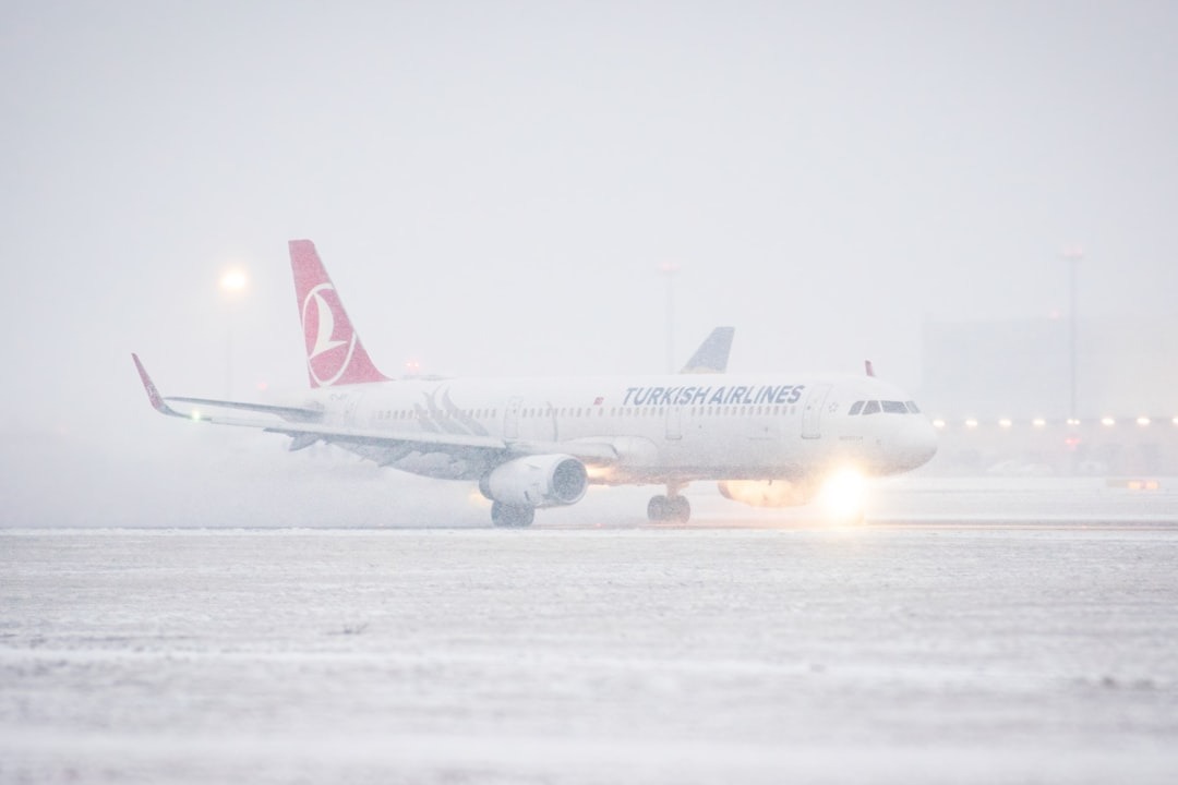
LaGuardia was the hardest hit, topping the disruption list with 208 combined delays and cancellations. The report noted that Delta and Republic Airways regional operations were grounded there, a disruption that can ripple far beyond New York because regional flights often feed international departures and arrivals.
Missing a short regional hop can quickly escalate into a multi-day problem once seats sell out — particularly for travelers with time-sensitive obligations such as immigration appointments, court hearings, or school registration.
Across the region, the Federal Aviation Administration used “ground stops” and “ground-delay programs” at JFK, Newark, and Philadelphia, contributing to more than 1,700 delays at those hubs alone. When these hubs seize up:
- Airlines tend to protect long‑haul operations first.
- Delays are rolled through domestic feeder routes, stranding connecting passengers.
- Late inbound aircraft and displaced crews can extend disruptions into subsequent days.
Snowfall, de-icing, and airport recovery
Snowfall intensity and accumulation slowed recovery efforts. Key figures from the report:
- New York City’s outer boroughs: up to 1 foot of snow.
- Broad swath from the Poconos (PA) to coastal Maine: 5 to 10 inches.
- Down East Maine: up to 12 inches.
- Snowfall rates: more than 1 inch per hour possible.
Heavy snowfall reduces runway capacity and triggers repeated de-icing cycles. Each de-icing round consumes time, equipment, and staffing — resources that can run thin when many departures queue simultaneously.
Geographic footprint and ground transport effects
The storm’s footprint included New York, New Jersey, Pennsylvania, Massachusetts, Vermont, New Hampshire, and Maine, with icing reported near the Virginia–West Virginia border.
State and local actions highlighted deteriorating conditions:
- New Jersey: Governor Phil Murphy declared a state of emergency for five northern counties and imposed 45-mph speed limits on the Turnpike.
- Pennsylvania: temporary 45-mph interstate speed limits.
These measures made driving to alternate airports or consulate appointments a less viable fallback.
Rail and freight disruptions
Rail options tightened as well:
- Amtrak cut Acela frequencies by 40%, stranding passengers who pivot to rail after airport delays.
Freight and business travel impacts:
- Less-than-truckload carriers paused pickups in Pennsylvania and Ohio, affecting supply chains.
- Employers sponsoring foreign workers faced potential delays in equipment, project timelines, and pressure on employees to travel during unsafe conditions.
Impact on travelers with immigration or time-sensitive needs
The storm posed particular challenges for foreign nationals, immigrants, students, and temporary workers:
- Visa holders often have narrow windows to re-enter before work or school resumes.
- Missed arrivals may mean missing pre-arranged pickups, job starts, or first days of classes.
- Lawful permanent residents can see plans for work and childcare upended when local roads and schools are also affected.
- Travelers with separate tickets for international and domestic segments are especially vulnerable to cascading disruptions.
Airlines issued weather waivers for “fee-free rebooking”, but the report noted that premium seats sold out quickly. When flexible fares and premium cabins disappear, rebooking can produce:
- Longer layovers
- Overnight stays
- Routing through other congested hubs
- Increased risk of missed connections and lost baggage
Timeline and lingering effects
The storm was expected to peak Sunday and move toward Canada 🇨🇦 by early Monday, December 15, with lingering impacts into midweek. The report highlighted that Arctic air would follow, bringing sub-zero wind chills through Tuesday, December 16.
That cold aftershock can:
- Prolong de-icing delays
- Keep airports operating below normal capacity even after snowfall eases
- Produce long lines, rolling gate changes, and last-minute cancellations as backlogs are worked through
Key takeaway: Even when skies begin to clear, displaced aircraft and crews can take days to re-align — creating a second wave of travel trouble after the storm itself.
Practical guidance and tracking
Officials and airlines typically urge passengers to confirm airport conditions before leaving home. The report pointed travelers to real-time tracking resources, including:
- FlightAware
- Airline operations centers
- FAA updates
The FAA’s system status updates are posted on its National Airspace System page at https://nasstatus.faa.gov/, which shows ground stops and delay programs that can change by the hour.
According to analysis by VisaVerge.com, storms like this often create a second wave of travel trouble when displaced aircraft and crews take days to re-align — so passengers should expect that the worst congestion may not coincide precisely with the worst snowfall.
Broader system-wide effects
What made this weekend’s storm especially disruptive was how it hit a dense network of airports and ground transport simultaneously. With LaGuardia, JFK, Newark, and Philadelphia all under FAA traffic-management controls, the region’s absorption capacity for rerouted flights shrank rapidly.
By Sunday evening, the report said total U.S. airport disruptions exceeded 1,000 delays and 100 cancellations in FlightAware data — a reminder that when the Northeast slows down, the rest of the national system feels it too.
A powerful December 14–15, 2025 winter storm stalled Northeast air travel, causing roughly 2,800 delays and nearly 400 cancellations. LaGuardia sustained the worst disruption with 208 combined delays and cancellations, grounding regional operators and disrupting connecting flights. FAA ground stops at JFK, Newark and Philadelphia produced cascading network impacts. Heavy snowfall and de-icing reduced runway capacity; Amtrak cut Acela service by 40%. Time-sensitive travelers, including immigrants and students, faced heightened risks and were advised to monitor airline and FAA updates.
Live Government Data
State Dept • CBPBusiest Border Crossings
- Nogales 150 min
- Brownsville 120 min
- Nogales 120 min


