- The UN General Assembly backed the Equal Earth map projection in a 164 to one vote on September 4, 2026.
- Togo-led resolution asks schools, international bodies and tech firms to use maps showing Africa’s size more accurately.
- The measure is nonbinding, and Togo wants school geography materials updated by the end of 2026.
The UN General Assembly voted 164 to 1 on September 4, 2026, to support an African-led resolution promoting the Equal Earth map projection. Six countries abstained, and the United States cast the only opposing vote.
Togo sponsored the nonbinding measure with backing from the African Union. It urges schools, international organizations and technology companies to use maps that represent continental areas more accurately.
Robert Dussey, Togo’s foreign minister, presented the initiative as a matter of evidence rather than politics.
“This discussion is not a political discussion [but] a scientific discussion, because there is scientific proof so we all have to accept the reality.”
Dussey also said, “A fair world begins with a fair map.”
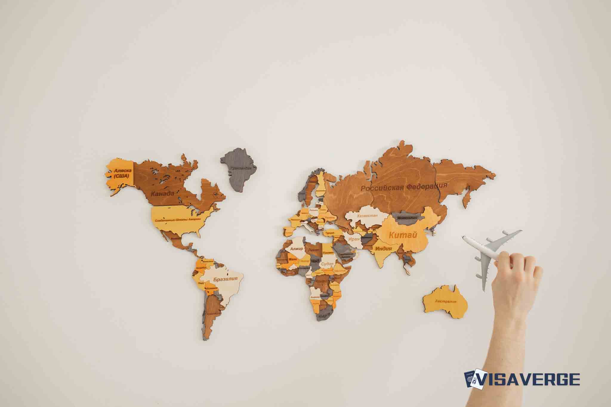
The campaign argues that familiar world maps can make Africa look much smaller than it is. On the commonly used Mercator projection, Africa and Greenland can appear roughly similar in size, although Africa is 14 times larger.
The proposed alternative is designed to preserve a more accurate comparison of land areas. It does not require every map to change.
The resolution asks institutions to change maps without imposing a legal requirement
The measure encourages equal-area projections in education, official communications and digital products. It carries no binding legal force, so adoption will depend on decisions by governments, schools, international bodies and private technology companies.
The resolution also leaves room for the established Mercator map projection in settings where its design remains useful. The Togolese ministry said the measure “in no way challenges the use of the Mercator projection for maritime and aerial navigation, for which it remains fully suited.”
Gerardus Mercator introduced the projection in 1569. Its mathematical design enlarges landmasses farther from the equator, a feature that helps with navigation but affects visual comparisons of continental size.
The General Assembly’s action therefore targets maps used to teach geography or represent the world publicly, rather than every map used for travel or navigation.
The campaign links a UN vote to a wider African mapping effort
The resolution carries the title “Correct the Map: Rebalancing Global Cartographic Representation and Promoting Equitable Representation of the World’s Regions, Particularly Africa.” Its sponsors connect the proposal to a broader African Union effort to change how the continent appears in educational and public materials.
| Milestone | Detail |
|---|---|
| African Union endorsement | The AU’s 54 member states endorsed the Equal Earth projection in February 2026 |
| General Assembly vote | 164 in favor, 1 against and 6 abstentions on September 4, 2026 |
| Togo’s school target | Update school geography materials by the end of 2026 |
| Resolution status | Nonbinding, with implementation dependent on political will |
The African Union said the projection “more accurately represents the sizes of all continents, particularly Africa.” The resolution extends that argument to institutions that produce maps for students, readers and online users.
The United States opposed the measure, saying it advanced an “ideological agenda” and diverted attention from the “genuine problems of international peace, prosperity or good relations”.
Dussey rejected the argument that the issue had arrived at the wrong time.
“To those who say why now, I say, why not? When we look at the world map … it is time for us to change the narrative.”
The vote does not automatically replace maps in classrooms or on technology platforms. Each organization must decide whether to adopt the recommended projection, another equal-area design, or keep its current map for a particular use.
Togo has set the first stated deadline. It hopes to revise school geography materials by the end of 2026, while Dussey said, “It’s time for us in Africa to take responsibility to change what we can change ourselves.”