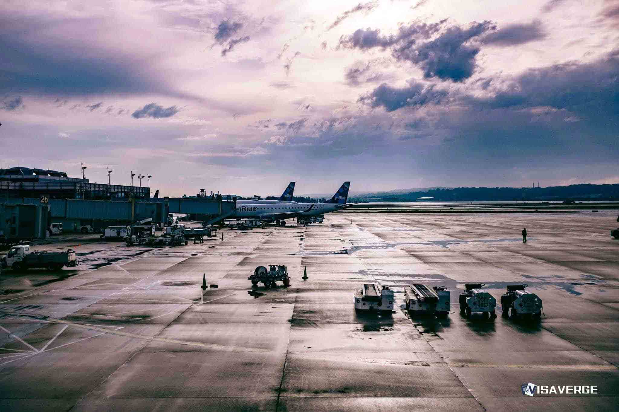
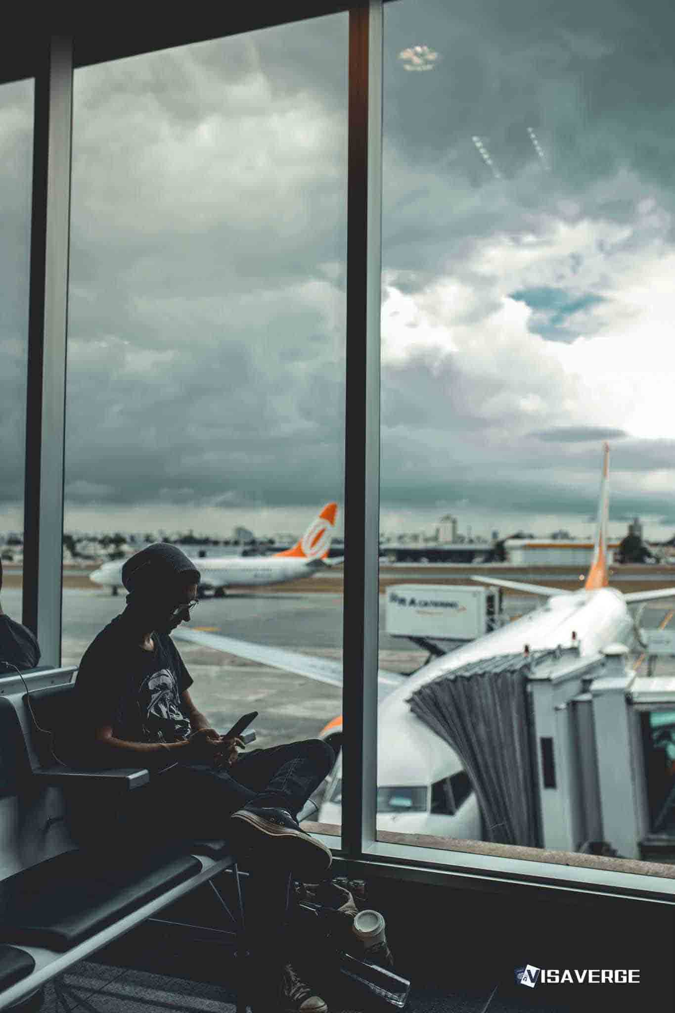
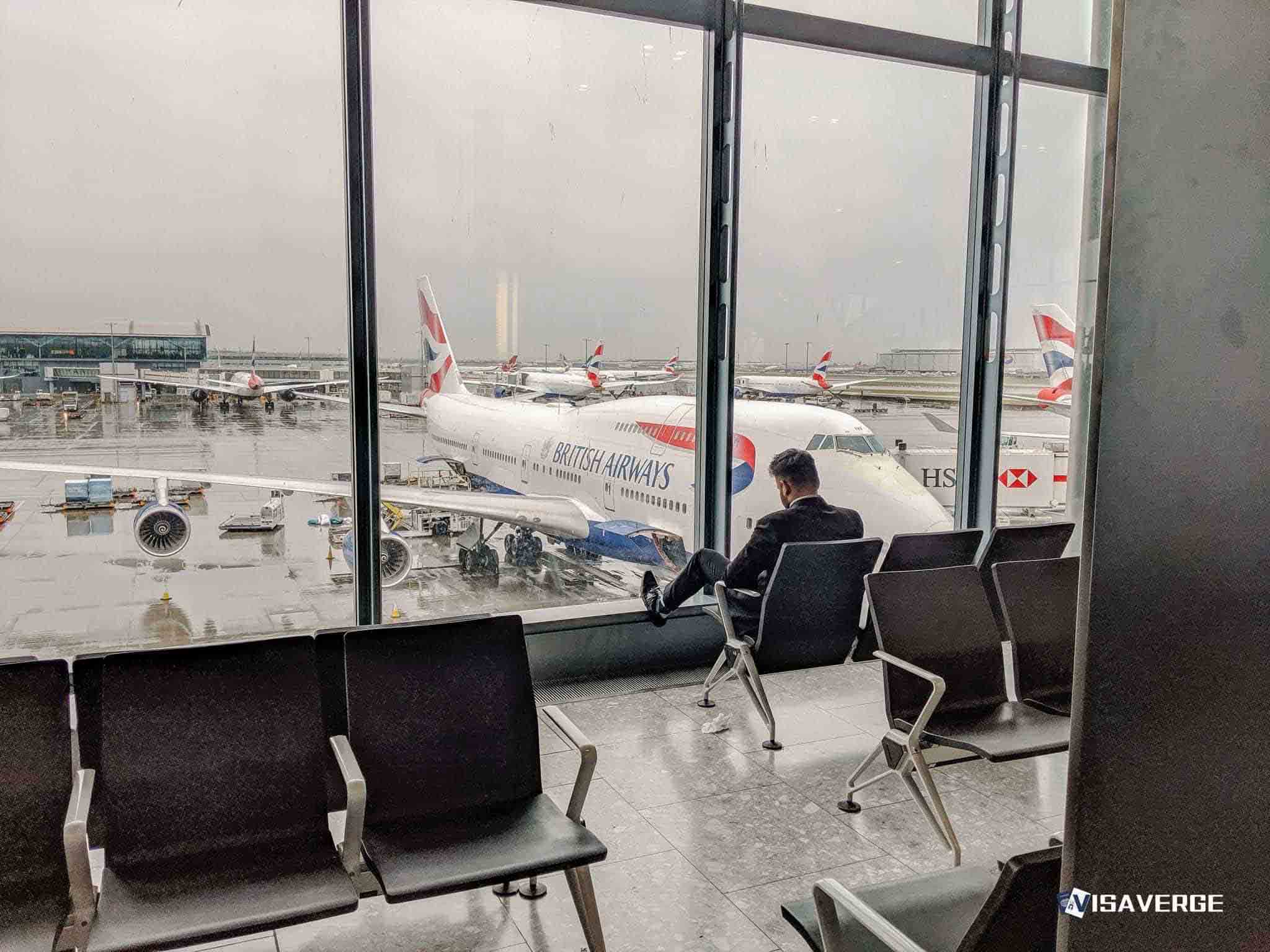
(FLORIDA, UNITED STATES) Hurricane Melissa, a Category 5 storm with maximum sustained winds around 185 mph, has triggered mounting flight delays at Florida airports as dangerous winds push toward the southeastern United States. Departing flights were delayed an average of 45 minutes as of 11:28 a.m. EDT, and delays continued to increase as airlines slowed operations and ground crews battled deteriorating conditions.
The Federal Aviation Administration has issued warnings as the storm edges closer, and passengers at major Florida airports are being urged to check directly with their carriers for real-time updates and to prepare for longer waits. While airport operations remain open in Florida, the ripple effects are already significant, with flights to the Caribbean hardest hit and carriers consolidating schedules ahead of worsening weather. Officials said travelers should expect further delays and possible cancellations as the powerful system continues to affect air traffic routes along the storm’s projected path.
National Hurricane Center Director Dr. Michael Brennan described Hurricane Melissa as
“catastrophic,”
underscoring the scale of destruction it is bringing as it sweeps the northern Caribbean and threatens to complicate flying conditions in the broader region. Brennan said the storm is currently making landfall in Jamaica and is expected to move north-northeast toward Cuba and the southeastern Bahamas, a trajectory that will continue to complicate air traffic flows into and out of Florida as airlines adjust for safety and shifting weather windows.“Catastrophic wind damage expected in the eyewall here. You know, total building failures. And the winds will be even higher up here in the areas of high topography. You could have wind gusts over 200 mph in some of those high mountains here across Jamaica,” Brennan warned.
The National Hurricane Center has also flagged life-threatening storm surge and freshwater flooding, with forecasters anticipating a surge of 9–13 feet above ground level in Jamaica, 8–12 feet in southeastern Cuba, and 5–8 feet in the southeastern Bahamas as the hurricane churns northward.
Airlines with routes to Jamaica faced immediate disruption. Airport duty manager Sonny Parmar confirmed that all flights to Montego Bay and Kingston have been canceled, citing the direct threat posed by Hurricane Melissa.
“With Hurricane Melissa expected to make landfall sometime tomorrow over Jamaica, all flights to Montego Bay and Kingston have been cancelled for today and passengers are asked to reach out to their airline for any further updates that they could provide,” Parmar said.
The cancellations are adding pressure across Florida airports as carriers reassign aircraft, reposition crew, and triage customers onto later services.
The storm’s raw power has alarmed forecasters and emergency officials. Bryan Norcross, FOX Weather Hurricane Specialist, said Hurricane Hunters measured extraordinary winds inside the eyewall, while the hurricane set a late-season record for the Atlantic basin.
“All this is catastrophic for the areas that are going to get this. … The Air Force Hurricane Hunters dropped these instrument packages down through the storm, and they measured 240 mile an hour winds at elevation,” Norcross said, adding that the storm’s central pressure has plunged to 908 millibars, the lowest recorded in the Atlantic this late in the year.
As Melissa moves through Jamaica and arcs toward Cuba and the southeastern Bahamas, carriers serving Florida are bracing for more schedule changes. Hub airports that funnel large volumes of traffic to the Caribbean and Latin America are seeing the earliest effects, with taxiway holds and gate congestion spreading as arrivals and departures bunch around short weather breaks. Dispatchers are flagging potential reroutes and extended taxi times, while pilots and controllers contend with tighter spacing as the storm’s outer bands complicate approach and departure profiles.
Florida airports remain operational, but the growing strain is visible. Crews are wrestling with high crosswinds that slow ramp work and refueling, while lightning in feeder bands forces periodic ground stops that cascade into longer delays. On concourses, departure boards reflect the storm’s reach: Jamaica flights canceled, connections to the southeastern Bahamas slimmed down, and departures to Cuba under close review as airlines weigh the forecast for the next twelve to twenty-four hours.
The FAA’s warnings cover air traffic management as the Category 5 storm approaches, and controllers are sequencing traffic around affected airspace while maintaining safe distances from turbulent zones. That means fewer takeoff and landing slots in short bursts, contributing to the average 45-minute delay that was registered by late morning. If Melissa’s path brings stronger bands closer to Florida’s shoreline, operations could slow further as airlines park aircraft and shift crews out of the storm’s reach.
The National Hurricane Center’s guidance has become central to aviation planning as carriers attempt to maintain skeleton services to regions north and west of the storm track while suspending or rerouting flights closer to the core. Alongside the threat from extreme wind, forecasters warn of flash flooding, mudslides, and dangerous surf that can damage airport infrastructure and ground equipment in affected islands, compounding the timeline for restoring normal schedules once the storm passes. With storm surge projected as high as 13 feet in Jamaica and up to 12 feet in parts of southeastern Cuba, coastal airport facilities and access roads are at risk of inundation, which could slow recovery flights and the return of crews.
In Florida, the human impact is measured in hours-long waits and anxious phone calls. Families headed to Jamaica for reunions are rebooking en masse, cruise passengers are scrambling to rejoin ships at later ports, and students returning to Caribbean universities are stranded overnight while airlines attempt to secure seats in coming days. The bottleneck extends to cargo flights that normally shuttle perishables and medical supplies across the region; some of those aircraft are repositioned inland, leaving gaps in routine shipments until conditions stabilize.
Aviation weather specialists say that even when the core of a Category 5 storm is far offshore, the outer edges can complicate flying conditions across a wide area, with bursts of wind shear and heavy rain. For Florida airports, that translates into slower ramp operations, longer de-icing-style safety checks when lightning is present, and occasional ground stops to protect staff during nearby strikes. The result is a rolling delay pattern that can be difficult to unwind, especially when planes and crews end up out of position after earlier cancellations.
Air traffic managers and airline operations centers are basing their decisions on the latest advisories from federal forecasters. The National Hurricane Center’s updates, which are guiding both emergency planners and airline dispatchers, can be found on the National Hurricane Center website. Officials are urging passengers to rely on airline text alerts and app notifications rather than airport counter visits, both to reduce crowding and to receive gate and time changes as they are issued.
On the ground in Jamaica, Brennan’s warning of
“total building failures”
and gusts over 200 mph in mountainous areas underscores why flight operations there have shut down. Flooding and landslides are likely, with the storm expected to pummel high terrain that funnels runoff into towns and along roads that also serve airport staff. Downed power lines and communications outages can slow post-storm assessments, keeping airfields closed even after winds drop below dangerous levels. That, in turn, prolongs the disruption for Florida travelers trying to reach family or return home.
Norcross’s report that Hurricane Hunters measured 240 mph winds at elevation in the eyewall speaks to the ferocity now bearing down on the region. Such readings, combined with a central pressure of 908 millibars, signal a storm at the peak of its power. For air travel, that means any route that intersects Melissa’s path requires wide detours, higher fuel loads, and tight coordination with air traffic control—measures that ripple through airline schedules for days.
In the short term, passengers at Florida airports should expect the pattern of delays to continue, with the average wait time likely to creep higher during bursts of lightning or as bands move close to the coastline. Airlines will prioritize safety and will cancel or divert rather than risk approaches or departures through convective cells tied to Hurricane Melissa. Crew duty-time limits may also come into play as pilots and flight attendants hit maximum work hours after extended holds, forcing additional cancellations late in the day and complicating recovery operations the following morning.
Brennan’s description of Hurricane Melissa as
“catastrophic”
is shaping decisions well beyond the Caribbean. As the storm is forecast to move north-northeast toward Cuba and the southeastern Bahamas, Florida airports will continue to feel the squeeze from diversions, cautious spacing, and ground safety pauses. Parmar’s confirmation that flights to Montego Bay and Kingston are canceled today shows how carriers are drawing a hard line around the worst-hit areas, while Norcross’s account of 240 mph winds and record-low pressure highlights why those steps are necessary.
With a Category 5 storm of this scale, the goal for airlines and airport authorities is to absorb delays rather than risk departures near unstable weather. That approach will test patience across terminals today and into the next cycle of flights, but it remains the safest path as Hurricane Melissa pushes north and the region counts the cost. For now, the advice is simple: monitor airline messages closely, expect rolling changes, and plan for extended waits as Florida airports navigate the outer reach of one of the strongest hurricanes of the season.
This Article in a Nutshell
Hurricane Melissa, a Category 5 storm with roughly 185 mph sustained winds and a 908 millibar central pressure at peak readings, is producing major disruptions to Caribbean and Florida air travel. Florida airports reported average departure delays of 45 minutes as of 11:28 a.m. EDT while carriers consolidate schedules and cancel flights to Montego Bay and Kingston. Forecasters warn of catastrophic wind damage, storm surge up to 13 feet in Jamaica, and ongoing risks to airport operations; passengers should monitor airline alerts for continuing delays and cancellations.
Live Government Data
State Dept • CBPBusiest Border Crossings
- Nogales 150 min
- Nogales 120 min
- Calexico 105 min


