Key Takeaways
• Since July 14, 2025, South Florida faces severe floods causing 89 delays and 29 cancellations at Fort Lauderdale Airport.
• Miami International Airport reported 181 delays and 47 cancellations amid ongoing storms and flood disruptions.
• Invest 93L has a 40% chance to develop into Tropical Storm Dexter, intensifying flooding risks this week.
Heavy rain has brought severe flooding and major travel disruptions to South Florida this week, with Fort Lauderdale-Hollywood International Airport and Miami International Airport reporting dozens of delays and cancellations. As storms continue and a tropical system threatens more rain, residents and travelers face ongoing risks and uncertainty.
Widespread Flooding Hits South Florida

Since July 14, 2025, communities across South Florida have struggled with intense rainfall and flash flooding. In Broward County, cities like Davie and Pembroke Pines saw streets quickly fill with water after several inches of rain fell in just a few hours. The National Weather Service (NWS) issued flood advisories for the region, warning that the risk of flash floods would remain high through at least July 16.
Meteorologists say the storms delivered between 3 and 5 inches (75–125 mm) of rain in many neighborhoods, with some areas near Tampa receiving more than 10 inches (250 mm). These heavy downpours have overwhelmed drainage systems, flooded roads, and left many residents stranded or unable to reach their homes.
Airports Disrupted: Fort Lauderdale-Hollywood International Airport and Miami International Airport
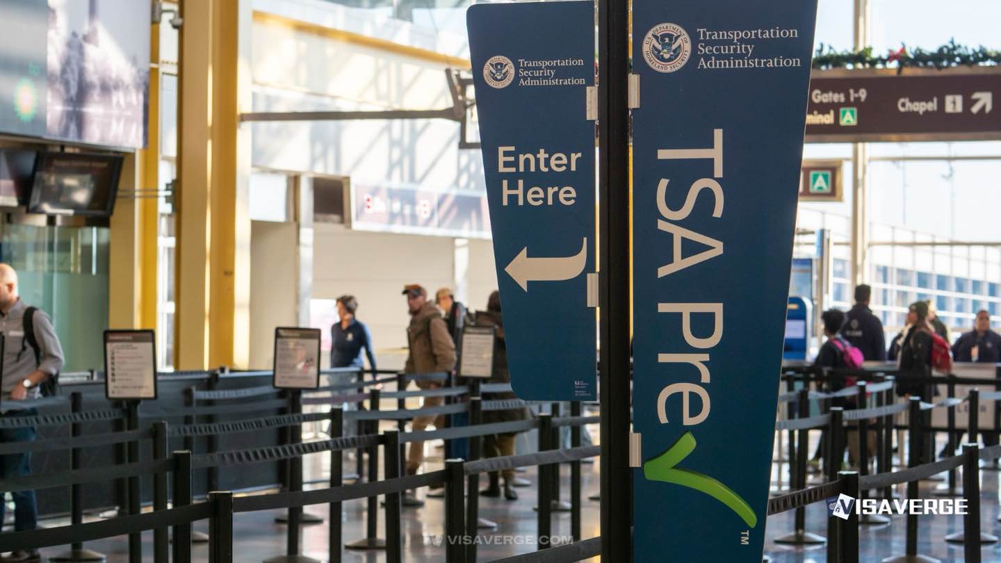
The flooding has caused major problems for travelers. At Fort Lauderdale-Hollywood International Airport, officials reported 89 flight delays and 29 cancellations as thunderstorms forced a ground stop for departing flights. Miami International Airport faced even more severe disruptions, with 181 delays and 47 cancellations by Monday afternoon. Passengers described long waits, crowded terminals, and the stress of rebooking flights as airlines struggled to adjust schedules.
Airport officials urge travelers to check their flight status before heading to the airport and to prepare for possible overnight stays if flights are canceled. Local road flooding has also made it harder for people to reach the airports, adding to the frustration and confusion.
Tropical Disturbance Raises Concerns
As South Florida deals with the immediate impacts of flooding, a new threat is emerging. A low-pressure system known as Invest 93L is moving west across the Florida Peninsula. The National Hurricane Center gives it a 40% chance of developing into a tropical depression or Tropical Storm Dexter as it enters the northeastern Gulf of Mexico later this week. This system is already bringing more rain and flash flooding to central and western Florida, raising fears that conditions could worsen.
Official Response and Emergency Measures
Local governments and emergency agencies are working around the clock to respond to the crisis. The NWS has classified the flash flood risk as moderate to high for much of Florida, urging residents to stay alert for changing conditions. Municipalities are coordinating with emergency management teams to monitor flood-prone neighborhoods, clear blocked roads, and deploy rescue teams if needed.
Both Fort Lauderdale-Hollywood International Airport and Miami International Airport remain under strain, with ongoing delays and cancellations expected as storms continue. Officials recommend that travelers:
- Check airline notifications and airport websites for real-time updates.
- Allow extra time for airport transfers, as flooded roads may slow travel.
- Prepare for possible overnight stays if flights are canceled or delayed.
Residents in flood-prone areas should follow local advisories, avoid driving through flooded streets, and be ready to evacuate if conditions worsen. Homeowners and businesses affected by flooding are encouraged to document damages for insurance claims and contact local emergency management offices for help.
Climate Change and the Bigger Picture
Experts say the recent flooding in South Florida is part of a larger trend of more frequent and intense rainfall events, driven by climate change. The Gulf of Mexico is currently 2–3°F warmer than usual, which means the air holds more moisture and storms can produce heavier rain. According to climate scientists, the strongest storms in Florida now drop about 20% more rain than they did in the late 1950s.
Meteorologists point to record-setting atmospheric moisture and slow-moving storm systems as key reasons for the intense rainfall. In some places, rain fell at rates of 2–3 inches (50–75 mm) per hour, quickly overwhelming local drainage systems.
Infrastructure Projects and Policy Changes
To address the growing threat of flooding, the South Florida Water Management District (SFWMD) has launched several major projects in 2025:
- Blue Shanty Flow Way and S-355W Structure: Construction began this year to restore water flows between the Central Everglades, Everglades National Park, and Florida Bay. The goal is to reduce harmful stormwater discharges and help prevent urban flooding.
- Scott Water Farm: This project stored about 33,000 acre-feet of stormwater in Water Year 2024, providing extra flood storage and reducing nutrient runoff.
In response to the recent storms, the SFWMD and partner agencies have announced plans to speed up the completion of several flood mitigation projects. These efforts aim to make South Florida more resilient to future extreme weather, but experts warn that adaptation must keep pace with the increasing impacts of climate change.
Practical Advice for Residents and Travelers
With the situation still evolving, both residents and visitors should take steps to stay safe and minimize disruption:
For Travelers:
– Monitor flight status frequently, especially if flying from Fort Lauderdale-Hollywood International Airport or Miami International Airport.
– Plan for delays and cancellations. Have backup plans for overnight stays and keep important items like medications and chargers in your carry-on.
– Check local road conditions before heading to the airport, as flooding may block key routes.
For Residents:
– Heed flood advisories and stay informed through local news and official channels.
– Avoid driving through flooded streets. Just a few inches of water can stall a car or sweep it away.
– Prepare for possible evacuation by gathering important documents, medications, and emergency supplies.
– Document any damage for insurance claims and contact local emergency management offices for assistance.
Expert Perspectives on the Crisis
Meteorologists and climate scientists agree that the recent flooding is a sign of changing weather patterns in Florida. As reported by VisaVerge.com, experts highlight that warmer ocean temperatures and increased atmospheric moisture are making storms more intense and unpredictable.
Government officials stress the importance of ongoing infrastructure upgrades and close coordination between agencies. The SFWMD says that new water management projects are essential for protecting communities from both immediate and long-term flood risks.
Community Impact and Stories
For many in South Florida, the flooding has brought daily life to a standstill. Residents in low-lying neighborhoods have seen water rise into their homes and cars, while business owners face costly repairs and lost revenue. Travelers stranded at airports share stories of missed connections, canceled vacations, and the challenge of finding hotel rooms as thousands of people scramble for shelter.
Local emergency services have responded to dozens of calls for water rescues, especially in areas where drainage systems failed to keep up with the heavy rain. Volunteers and community groups are stepping in to help neighbors clear debris, provide food and water, and support those displaced by the floods.
Looking Ahead: What’s Next for South Florida?
The immediate forecast remains uncertain, with more rain expected as Invest 93L moves through the region. If the system develops into Tropical Storm Dexter, the risk of additional flooding will increase, especially along the northern Gulf Coast.
With soils already saturated and drainage systems under strain, even moderate rainfall could trigger new flash floods. Officials warn that the elevated risk may persist through the week, and possibly longer if more storms develop.
Long-Term Solutions and Adaptation
While emergency response teams focus on the current crisis, experts say that long-term solutions are needed to protect South Florida from future floods. This includes:
- Accelerating flood mitigation projects like those led by the SFWMD.
- Upgrading drainage systems in vulnerable neighborhoods.
- Improving coordination between local, state, and federal agencies.
- Educating the public about flood risks and preparedness.
Climate scientists stress that adaptation must keep pace with the changing environment. As storms become more frequent and intense, communities will need to invest in stronger infrastructure and smarter planning to reduce the impact of future disasters.
Official Resources for Updates and Assistance
Residents and travelers can find the latest information and support from several official sources:
- National Weather Service (NWS): For real-time weather alerts and flood advisories, visit the NWS website.
- South Florida Water Management District (SFWMD): For updates on flood mitigation projects and water management efforts.
- Fort Lauderdale-Hollywood International Airport and Miami International Airport: For flight status and traveler information.
- Local Emergency Management Offices: For evacuation orders, shelter locations, and disaster assistance.
Key Takeaways and Next Steps
South Florida is facing a serious challenge as heavy rain, flooding, and airport disruptions continue to affect daily life. The situation is made worse by a developing tropical disturbance and the broader impacts of climate change. Residents and travelers should:
- Stay informed by following official advisories and checking updates regularly.
- Be prepared for continued disruptions, including travel delays and possible evacuations.
- Take safety seriously by avoiding flooded areas and following instructions from emergency officials.
- Document damages and seek help from local agencies if affected by flooding.
Analysis from VisaVerge.com suggests that while emergency response and infrastructure projects are helping, the region must continue to adapt to a changing climate. The lessons from this week’s storms highlight the need for stronger planning, better communication, and community resilience.
As South Florida recovers from this round of flooding, the focus will shift to rebuilding, learning from the experience, and preparing for the next challenge. With more extreme weather likely in the future, the steps taken now will shape how well the region can protect its people, homes, and businesses in the years to come.
For more information on flood safety, weather alerts, and emergency resources, visit the National Weather Service.
By staying alert, working together, and investing in long-term solutions, South Florida can face these challenges and build a safer, more resilient future for everyone.
Learn Today
Flood Advisories → Official alerts warning about possible flash floods and dangerous water levels in affected areas.
Flash Floods → Rapid and intense floods caused by heavy rainfall overwhelming drainage systems.
Invest 93L → A low-pressure system monitored for tropical development that may worsen flooding and storms.
South Florida Water Management District (SFWMD) → Agency managing water resources, flood control, and restoration projects in South Florida.
Tropical Depression → A tropical cyclone with organized winds below 39 mph, potentially intensifying into a storm.
This Article in a Nutshell
Heavy rains since July 14 flooded South Florida, disrupting travel with numerous delays and cancellations at Fort Lauderdale and Miami airports amid a tropical threat.
— By VisaVerge.com
Live Government Data
State Dept • CBPBusiest Border Crossings
- San Ysidro 180 min
- Calexico 130 min
- Otay Mesa 100 min


